Chapada Diamantina
Table mountains, blue cave lakes and waterfalls in canyons – a loop through the heart of Bahia.
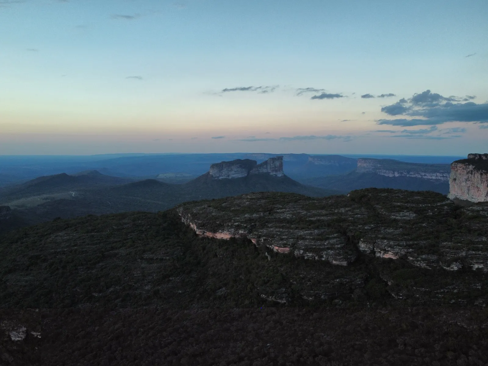
Mountains in the middle of Bahia
The Chapada Diamantina lies in the interior of the state of Bahia, several hundred kilometres west of Salvador. Table mountains, canyons, rivers with copper-coloured water – stained by tannins from the vegetation – and caves shape the landscape. A large part has been protected as a national park since 1985. The name recalls the diamond rush of the 19th century, to which towns like Lençóis owe their colourful colonial houses.
The region is big: hours on partly unpaved roads separate the sights in the north from those in the south. So I’ve split it into three parts.
The north: table mountains and a blue grotto
Morro do Pai Inácio
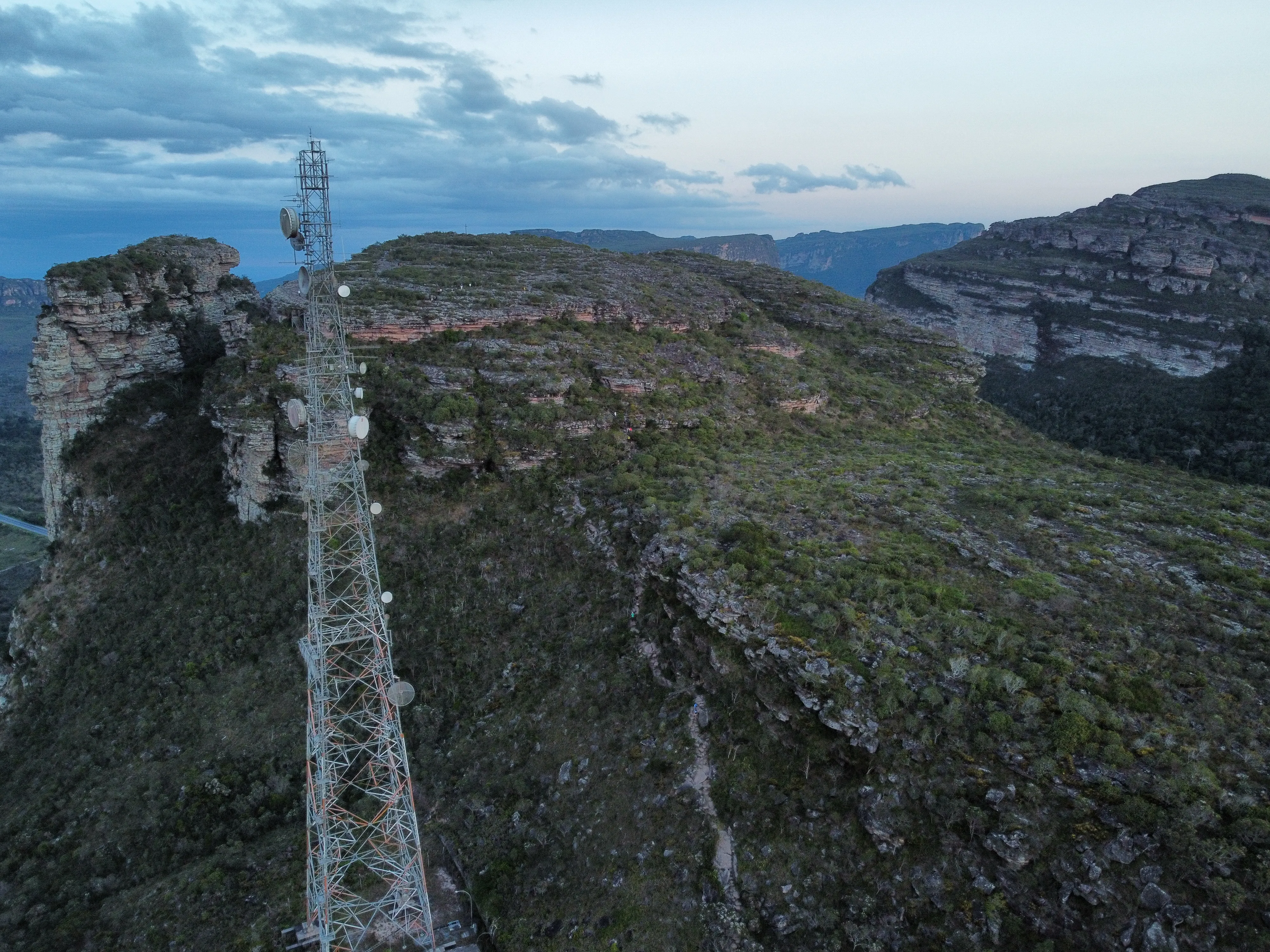
The best-known viewpoint in the Chapada: a table mountain near Palmeiras, about 1,120 metres high, with a short, steep climb. At the top the view opens over the plains and the other morros – among them the Morro do Camelo, whose outline really does look like a camel lying down. It’s busiest – and most beautiful – at sunset. The name goes back to a legend about a man called Inácio who is said to have jumped from up here.
It wasn’t quite that easy for us. On our first attempt the weather was so bad that the park rangers didn’t let us up at all. And even when it worked out, the sky didn’t fully play along: my drone struggled with the strong wind, and dark rain clouds pushed in front of the sun and swallowed it. It got dark quickly, even before the actual sunset.
Fazenda Pratinha and Gruta Azul
On the grounds of Fazenda Pratinha near Iraquara, the crystal-clear Rio Pratinha flows out of a cave. You can snorkel in the river and drift with the current (flutuação). Right next to it is the Gruta Azul: in the afternoon, sunlight falls through an opening and makes the water in the grotto glow bright blue.
The middle: water in red and blue
Cachoeira do Mosquito
A waterfall whose water drops over dark, reddish rock into a pool – typical of the Chapada’s colours.
Poço Azul
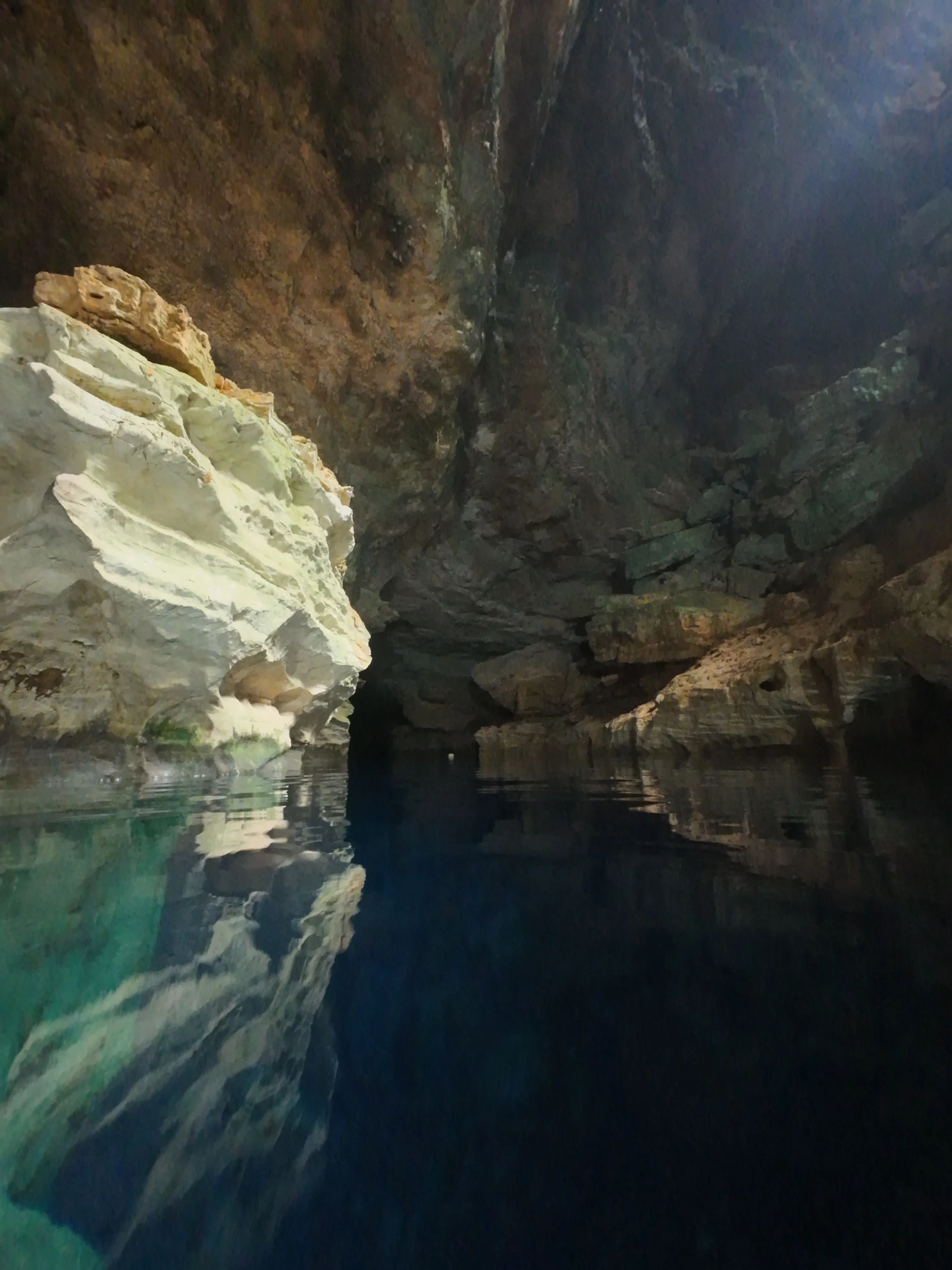
A cave with deep blue, extremely clear water near Nova Redenção. Here you’re allowed – wearing a life vest – to snorkel and float above the depths. In certain months a sunbeam falls into the water around midday.
Poço Encantado
Perhaps the most famous cave lake in the Chapada, near Itaetê. The water is so clear you can see the bottom many metres down. From roughly April to September a beam of light falls through a gap in the rock in the morning and bathes the lake in an intense blue. To protect the lake, swimming is not allowed here – you only look.
The south: canyons around Ibicoara
Cachoeira do Buracão
A waterfall of about 85 metres plunging into a narrow canyon. You cover the last stretch swimming through the gorge in a life vest – until you’re floating right in front of the falling water. Visits are only possible with a local guide.
Cachoeira da Fumacinha
The “little Fumaça” is one of the most demanding hikes in the Chapada: a long day along a riverbed, over boulders and through a canyon that keeps getting narrower, until at the end the waterfall stands in a cleft in the rock. Only with a guide and good fitness.
Practicalities
- Guides: for many sights – such as Buracão and Fumacinha – local guides are mandatory, for others they’re a good idea.
- Entry fees: many places are on private fazendas and charge admission.
- Getting around: without a car or organised tours the region is hard to explore.
- Photography: caves are dark, canyons wet – a waterproof case for camera or phone and fast film or high ISO pay off.